Which Leicester City Map for England Travel? Streets, Parking and Historic Sites
Find the best Leicester map for your trip: city-centre coverage for walks, wider views for hotels, and accurate parking and entrance points for historic sites.
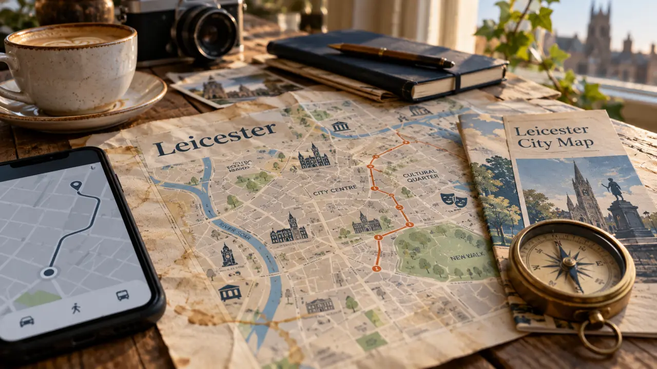
For a visit to Leicester, choose a city-centre map for streets and sightseeing, then use a route planner for the journey to your destination. A tourist map, a wider city map and a transport map serve different purposes: check the coverage before relying on one for your whole trip.
Leicester on map: start with the right coverage
A search for Leicester on a map can mean locating the city within England or finding a particular entrance in the centre. Start with the wider view for your approach, then zoom in until street names and pedestrian connections are readable. Do not mistake the edge of a tourist map for the city boundary.
Keep these distinctions in mind when choosing your map:
- City-centre map: useful for comparing visitor destinations and planning a walk.
- Wider Leicester map: useful when your accommodation or destination falls outside the central view.
- Journey planner: use this to check your specific departure point, destination and travel options.
Leicester map: download, print or use your phone?
Visit Leicester describes a downloadable visitor map and a physical map available from the Visit Leicester Information Centre. Check its current visitor information before making a special journey to collect a copy. Do not assume that a download includes live navigation, transport updates or parking availability.
For a phone, save the map before setting off and check that street labels remain legible when enlarged. For a printed copy, keep the legend and outer street names rather than cropping tightly around attraction symbols.
A map also helps when comparing places to study: the Everyday life university article considers reputation versus course fit, while mapping your likely journeys adds a practical check to that decision.
Map of Leicester: connect attractions to actual entrances
For a heritage-focused visit, use Leicester Cathedral, Jewry Wall and Leicester Castle as search terms when checking your chosen map. Find the visitor entrance for each destination rather than routing only to its label. A building marker is a useful starting point, not a complete walking instruction.
Give your route a root: one dependable starting and finishing point, such as your arrival stop or accommodation. Build short branches towards the places you want to visit, then trace the return connection. This exposes awkward detours before departure and makes it easier to shorten the day without losing your bearings.
Leicester city map: check parking and onward travel separately
A car-park symbol identifies a location; it does not confirm spaces, charges, opening arrangements or vehicle restrictions. Check those details with the operator before travelling. Map the pedestrian exit as well as the vehicle entrance so that your walking route starts in the right place.
For rail or bus travel, save the exact arrival point and check the return departure location separately. If step-free access matters, verify the whole route rather than judging accessibility from distance alone. Use the map for orientation and current operator information for travel decisions.